Talking Map
Since 1992, the Gwich'in Social and Cultural Institute has been working with Gwich'in elders to build an inventory of heritage sites within the Gwich'in Settlement Region (GSR) through a traditional land use study using oral history and ethno-archaeological research. The oral history research has documented this knowledge and use of the land, by recording place names and associated stories, trails, traditional camp sites, graves, historic sites, harvesting locales, and sacred or legendary places.
To date, GSCI has recorded approximately 900 named places for the Gwich'in Settlement Region. There are two ways to explore and view Gwich’in place names. The first is an interactive cybercartographic map. This map allows the user to zoom in and out, click on names to read more information and see associated photos, and conduct searches. Downloadable place names maps are also available from the atlas.
The second way to explore and view Gwich’in place names is the "talking place name map," below. About 30 of the named places from our research are included, along three major rivers in the Gwich'in Settlement Region – Nagwichoonjik (Mackenzie River), Teetł’it Gwinjik (Peel River), and Tsiigehnjik (Arctic Red River). Through reading about the places along these rivers, long used as travel routes, you can learn more about the history and culture of the Gwich'in. Click on a river’s name to see the location of the places in the small map, and more information about each name below.
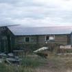
This place is located at the foot of the Richardson Mountains and is named after Knut Lang who had a fur trading post here ca. 1936-64. Mr. Lang was originally from Denmark and moved to the...
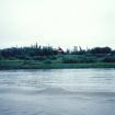
This place was one of the main summer gathering places and fish camps for the Gwichya Gwich'in in the Mackenzie Delta in historic times. People came in early June after the ratting (muskrat)...
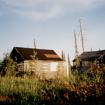
This creek only has jackfish in it, hence its name. Joe Bernard had a cabin near the mouth of this creek on the eastern side. His cabin was originally owned by Fred Norris, who moved the cabin by...
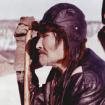
There used to be a small town here in the 1920s and 1930s. Billy Phillips (Tommy Wright's grandfather) and his wife Jane Enoch Phillips, had a small trading post here from 1927 to 1939. Enoch...
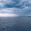
This place is located about ten miles downstream from the community of Tsiigehtchic and is the gateway to the Mackenzie Delta. This is where the Mackenzie River opens up for a distance of almost...
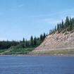
This place was where the Old Arctic Red River site was located. Annie Norbert recalls her mother saying that this place used to be "crowded with a bunch of tents." People used to come here and...

This has long been known as a good fishing area and people have camped here for many generations. Oral history indicates that a fish trap for grayling was used about 30 miles up the river....
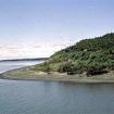
The mouth of this creek is one of the major trailheads for the route between the Mackenzie River and the large interior lake Khaii Luk (Travaillant Lake), an important fish lake for the Gwichya...
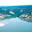
Before the fur trade brought steel axes and fire arms to the area, the Gwich’in depended for their survival on tools made from stone, wood and bone. It was here at the mouth of the Thunder River...
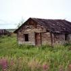
This place name refers to an old village site that came into existence in the early 20th C. when muskrat trapping became a lucrative activity. At one point, more than forty families lived in the...

