Talking Map
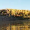
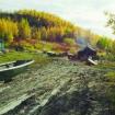
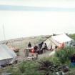
This name refers to an area which includes a small community of fish camps 8 miles from Fort McPherson and a stream upriver from there, which for many centuries was one of the favourite fishing...
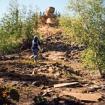
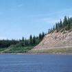
This name refers to a rock formation that sits on top of a hill overlooking the Peel River, upriver from Fort McPherson. It is one of the most sacred places in the Teetl’it Gwich’in traditional...
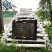
Just upstream from here, on the left bank of the Peel River is the location of one of two monuments to the Royal North West Mounted Police “Lost Patrol.” The two monuments commemorate the places...

The Gwich’in had many trails throughout their lands. One of the oldest and most important traditional trails for the Teetł'it Gwich’in was Trail River which led to Caribou Mountain, and the...

This Gwich’in place name is associated with a legendary story. During the early days of the land, a giant hairy worm (snake) came out of the ocean, travelled up the Mackenzie River and into the...
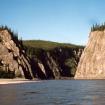
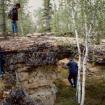
There are a number of places on the land that the elders talk about as being inhabited a long time ago by large and often dangerous creatures. Nehtruh tshì’ is such a place and was considered very...
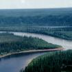
The Gwich’in name for this creek is so old, that the elders are no longer certain of it’s meaning. Up until the mid-1900s this was one of the main campsites for people travelling between the...
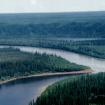
This place refers to a burning hillside located downstream from the Forks. There is a strong sulfuric smell from the burning. According to the elders, people returning from the mountains early in...
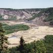
This is one of the most picturesque places on the Arctic Red River. There are gravel bar deposits where the two rivers meet, and high eroding black shale cliffs with splashes of red, orange, green...
Pages
- « first
- ‹ previous
- 1
- 2
- 3

